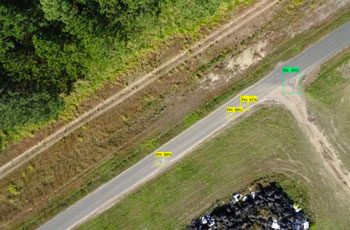
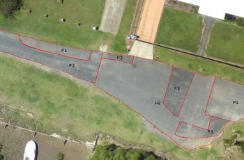
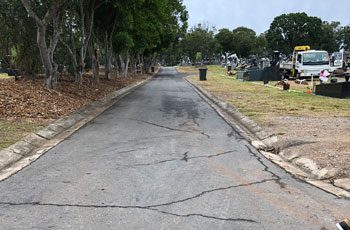
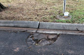
Aerial images taken by drones greatly accelerate and simplify topographic surveys for road management and planning. 

Queensland has the longest state-controlled road network of any Australian state or territory, with 33,336km of roads. Use of Remotely Piloted Aircraft Systems (RPAS) can save time and resources in pre and post-construction activities, keeping Australia’s roads safe and maintained. We can cover vast areas quickly to produce extremely detailed and accurate data which is valuable and vital for engineers, surveyors, maintenance teams and project managers to assist with safety, compliance and planning activities.

Compare a traditional ground survey which takes 8 hours to produce a moderately detailed map, with a 1-hour aerial survey which can produce a highly detailed map and 3D model with high accuracy – drones can greatly accelerate survey time and output. 

APPLICATIONS

DELIVERABLES

Topographic modelling for:

3D CAD Models:

Construction monitoring:

BENEFITS

Related Use Cases:

Traffic Planning

Traffic management on mine sites is essential in reducing risk to workers and visitors. 
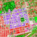
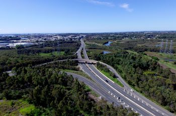
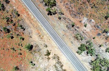
Land Cover Mapping

Capture valuable data for classifying land cover and use for planning, monitoring and policy-making.

Contact us today to discuss your requirements.