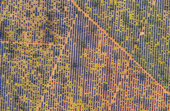
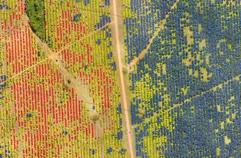
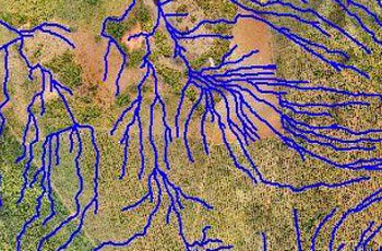
Weed Mapping
Understanding and control of weed growth is crucial to maintaining productivity gains and sustainable herbicide use.
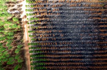
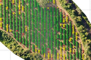
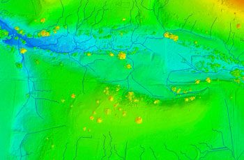
Precision Agriculture
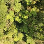
Multispectral sensors are used to assess crop health, identify disease, monitor drainage, and more.
