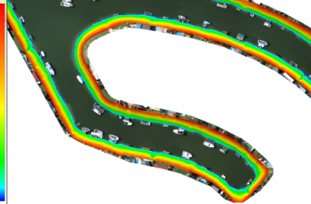
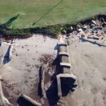
Erosion Monitoring
Monitoring erosion along shorelines and seawalls is essential to ensuring the safety of local dwellers.
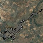
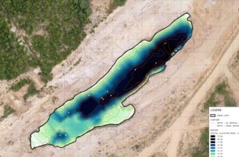
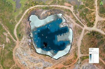
Mine Management
Leveraging drones can dramatically reduce expensive and time-consuming activities required to manage mine sites.
