With quick deployment, high on-board artificial intelligence, immediate flight data review and rapid result processing, Scout Aerial captures the information your first responders need, fast.
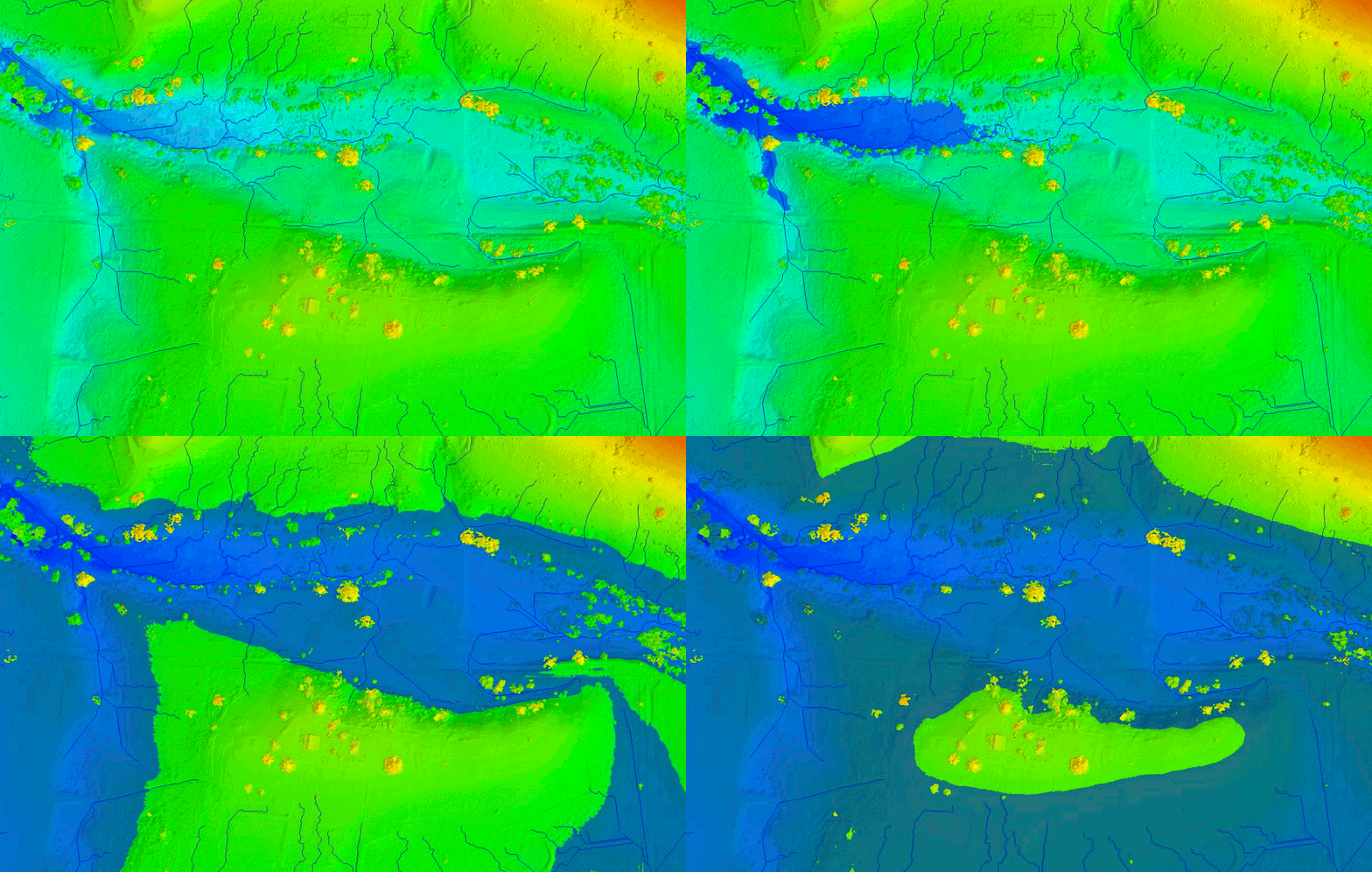
Using cutting edge photogrammetry and GIS tools, we can also contribute with environmental risk analysis and preventive planning, helping government and public safety organisations to respond efficiently to emergency situations such as flooding, bushfire and other natural disasters.

- Storms
- Floods
- Fires
- Traffic Accidents
- Natural Disasters


